What can you do with Peneira?
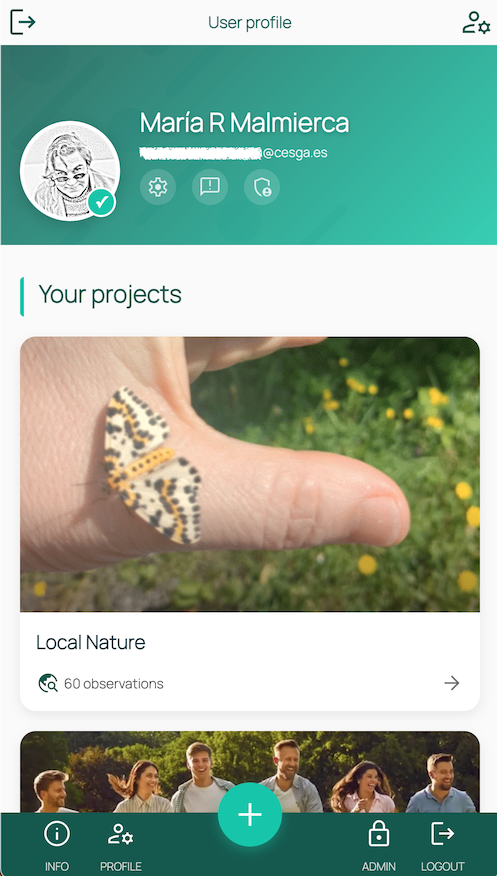
Peneira is available for both mobile and desktop devices. The platform takes advantage of the resources available on mobile devices, such as the camera, microphone, GPS, etc., to capture data outside the classroom.
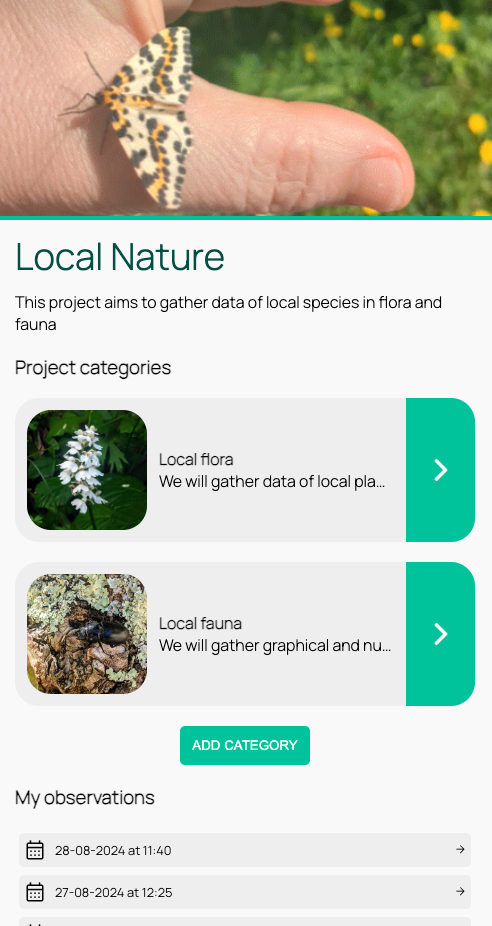
In this section you can see some examples of possible projects where you could use Peneira.
Features
With Peneira:
Info
- Collect many types of field data with your phone: numbers, texts, links, images, audios, videos...
- Collect field data automatically at the time of capture (temperature, sky condition, altitude, longitude, atmospheric pressure, wind speed).
- Manage the users you want to participate in the project, either as collaborators (with administration rights) or as participants (students/informants).
- Download the collected data in open formats (CSV, Json) so you can work with them, analyze them, etc.
- Improve participant engagement and interest in the project by adding a social layer to the project, with comments on the data collected by other participants.
- Share observed data outside the platform or save the data locally.
- Know the real-time location of participants: With the Peneira app, you can see the real-time location of the students in your course (provided they grant permission and have the app open at that time).
- Chat: There is the possibility of having an administrator-participant chat within the app itself, provided that the administrator/teacher is the one who starts the conversation (this chat is not allowed between participants/students).
- Use the app in offline mode: If you don't have an Internet connection, Peneira will save your observations until you have a connection again, uploading them at that time.
Types of projects
Some examples:
These are some examples of collaborative scientific projects in which you could use Peneira, in natural sciences, social sciences, humanities...
- Observation of changes in nature over time (phenological observation): For example, collecting images and data of a species over time, or in different areas to see climate variation and its appearance.
- Collection of data for the analysis of microplastics on our beaches, monitoring of air or water quality... (using additional sensors and data collection in Peneira).
- Collection of traditional vocabulary to create a linguistic map: Collection of traditional words to locate them on the map, and thus improve knowledge of linguistic variants or localisms; collection of oral traditions: stories, songs...
- Local catalog of historical or natural heritage: Collection of data on historical heritage (hillforts, churches, bridges, washing places...), industrial (old mines, forges, factories, etc.), or natural (rivers, mountains and waterfalls) to catalog them, know their condition, etc.
- Maps of resources or municipal services in our area: Identification of services and their availability in the area, or comparison of the same resources between different areas.
- Obstacles to accessibility in an area: Collection of details of different obstacles (fallen trees, poorly finished construction work, rocks or any type of object that hinders the movement of wheelchairs, etc.) in the area, and thus be able to inform users or the corresponding municipality.
These are just a few ideas! The most interesting thing about collaborative science is that it can investigate important things that "nobody asks about".